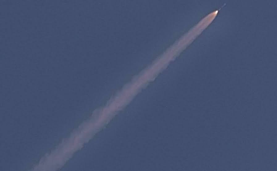
Three days prior to the 75th Independence Day celebrations, India will launch its most advanced geo-imaging satellite - Gisat-1. This satellite will allow the government to better monitor the country’s borders, especially with Pakistan and China, through imaging the sub-continent 3-4 times daily.
The COVID-19 pandemic had delayed the launch of Gisat-1 multiple times this year, but the satellite will finally begin its ascent from Sriharikota spaceport on August 12 at 5:43 am, IANS reported. ISRO’s GSLV-F10 rocket will carry the 2,268-kg Gisat-1 into Earth’s geo-orbit. The code name of Gisat-1 is EOS-3.
Once Gisat-1 is placed 36,000 km above the surface of the earth in the geostationary orbit, the satellite will be able to constantly monitor areas that are of interest such the country’s borders. EO-3 will provide real-time information about a large area, unlike other sensing satellites which are placed in lower orbits and can only cover areas at regular intervals. Gisat-1 will help in the quick monitoring of natural disasters, episodic and short-term events.
EO-3 is capable of imaging the whole country 4-5 times per day, explained Minister of state for department of space Jitendra Singh in a written reply to Rajya Sabha. He added that Gisat-1 will be able to monitor floods and cyclones in real-time. The satellite will also enable monitoring of water bodies, crops, vegetation conditions and forest cover changes
For more info - GSLV-F10 / GISAT-1 - ISRO

 but lets hope for a successful future flight !